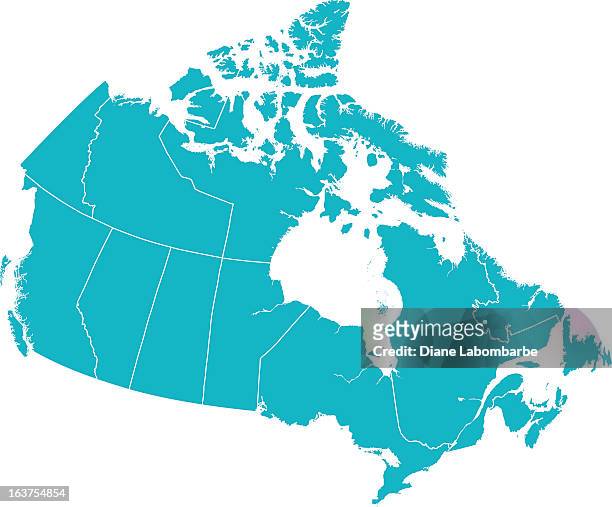
Detaillierte Vektor-Karte von Kanada mit Provincial Grenzen in Weiß. - Stock-Grafiken
Detailed Vector map of Canada with provincial borders in white. Vector 2D Flat Map illustration Of Canada. The lines on the map divide and represent each province. This map is done as a silhouette to easily see the province border divide lines.

Sichern Sie sich dieses Bild in einem von vielen Rahmen auf Photos.com.
EINE LIZENZ KAUFEN
Alle Lizenzen für lizenzfreie Inhalte beinhalten weltweite Nutzungsrechte, umfangreichen Schutz und eine einfache Preisgestaltung mit Mengenrabatten
Fr. 335.00
CHF
Getty ImagesDetaillierte Vektorkarte Von Kanada Mit Provincial Grenzen In Wei, Stock-Foto Laden Sie authentische Premium-Grafiken zum Thema Detaillierte Vektor-Karte von Kanada mit Provincial Grenzen in Weiß. von Getty Images herunter. Entdecken Sie ähnliche hochauflösende Grafiken in unserem umfangreichen Bildkatalog.Product #:163754854
 Laden Sie authentische Premium-Grafiken zum Thema Detaillierte Vektor-Karte von Kanada mit Provincial Grenzen in Weiß. von Getty Images herunter. Entdecken Sie ähnliche hochauflösende Grafiken in unserem umfangreichen Bildkatalog.Product #:163754854
Fr.335Fr.50
Getty Images
In stockDETAILS
Bildnachweis:
Creative #:
163754854
Lizenztyp:
Kollektion:
DigitalVision Vectors
Max. Dateigröße:
4529 x 3751 px (25,39 x 21,03 cm) - 453 dpi - 2 MB
Hochgeladen am:
Releaseangaben:
Mit Model- und Eigentums-Release