digital illustration of globe showing large scale movement of earth's lithosphere - plate tectonics stock-grafiken, -clipart, -cartoons und -symbole
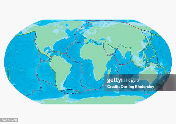
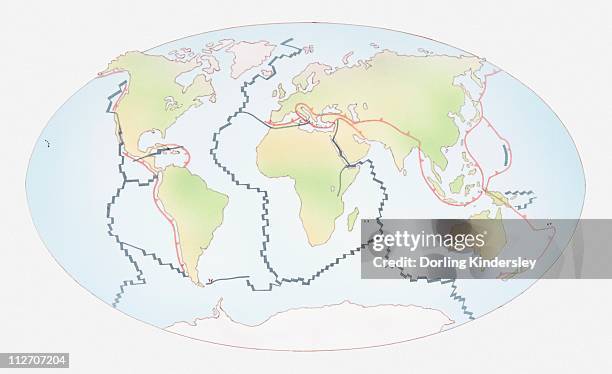
map of the word with lines marking boundaries of tectonic plates - plate tectonics stock-grafiken, -clipart, -cartoons und -symbole
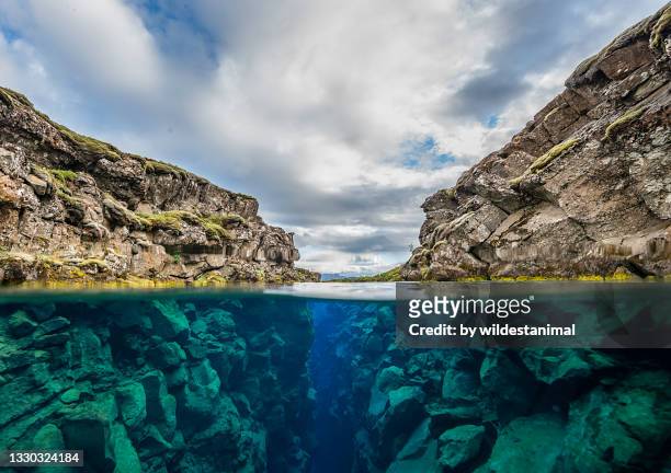
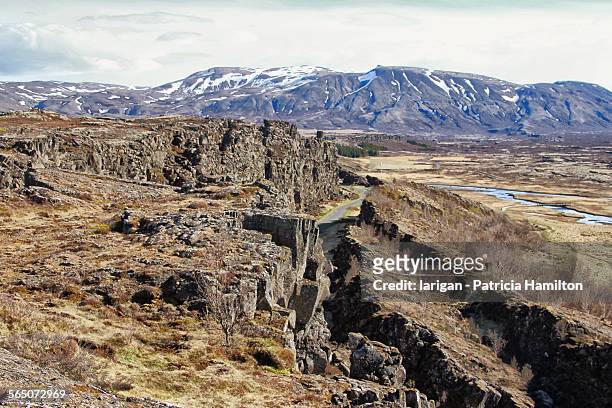
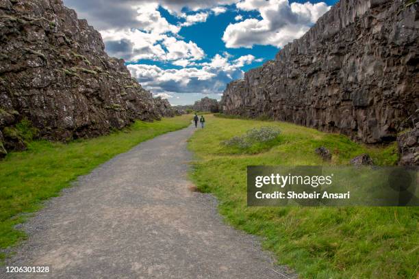
split level view of the silfra crack or fissure in thingvellir national park, iceland. - plate tectonics stock-fotos und bilder
teller tectonics deep sea rift-vulkan zeichnung - plate tectonics stock-grafiken, -clipart, -cartoons und -symbole
western hemisphere of the earth during the early jurassic period. - plate tectonics stock-grafiken, -clipart, -cartoons und -symbole
illustration of oceanic plates moving apart and magma rising - plate tectonics stock-grafiken, -clipart, -cartoons und -symbole
illustration of mountain formation (left) and volcanic activity (right) including erupting stratovol - plate tectonics stock-grafiken, -clipart, -cartoons und -symbole
illustration of tectonic plates moving past each other (transform boundary) - plate tectonics stock-grafiken, -clipart, -cartoons und -symbole
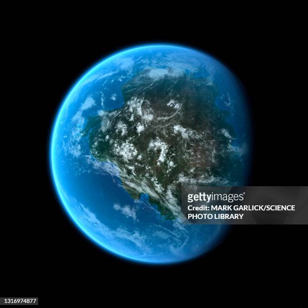
planet earth 90 million years ago during the late cretaceous period. - plate tectonics stock-grafiken, -clipart, -cartoons und -symbole
illustration of a world map showing a future scenario, with australia having moved much further to the north, and north america having split away from south america - plate tectonics stock-grafiken, -clipart, -cartoons und -symbole
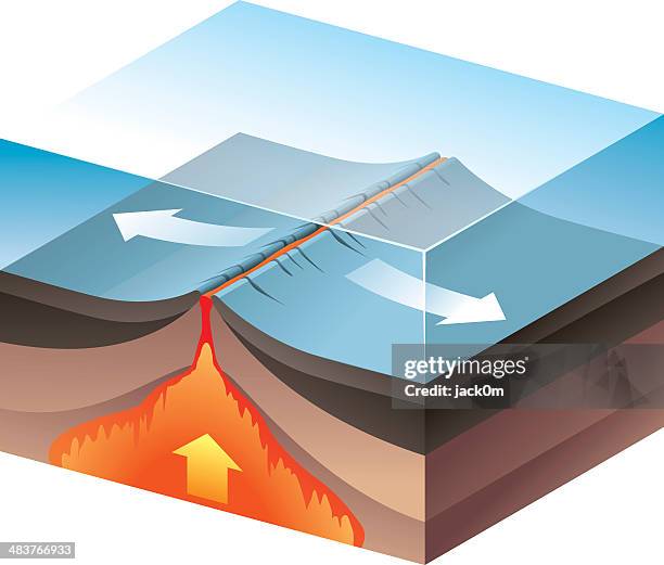
illustration of tectonic plates moving apart (divergent boundary) - plate tectonics stock-grafiken, -clipart, -cartoons und -symbole
illustration of tectonic plates moving together (convergent boundary), creating dip or subduction zo - plate tectonics stock-grafiken, -clipart, -cartoons und -symbole
illustration of the supercontinent pangaea - plate tectonics stock-grafiken, -clipart, -cartoons und -symbole
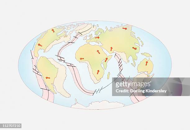
illustration of world map showing constructive plate margins and destructive plate margins - plate tectonics stock-grafiken, -clipart, -cartoons und -symbole
illustration of three globes and development of continents, 200 million years ago, 50 million years ago, and present day - plate tectonics stock-grafiken, -clipart, -cartoons und -symbole
illustration of two cross section blocks of earth divided by fault line - plate tectonics stock-grafiken, -clipart, -cartoons und -symbole
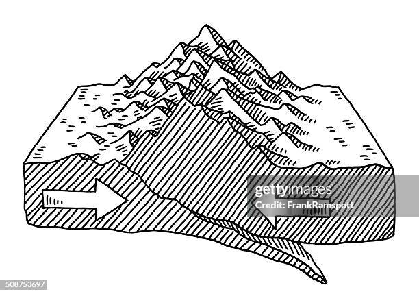
illustration of thrust faulting, causing blocks of crust to stack up above one another - plate tectonics stock-grafiken, -clipart, -cartoons und -symbole
Model of planet Earth internal structure, Timanfaya Volcano Interpretation and Visitor Centre, Lanzarote, Canary Islands, Spain.
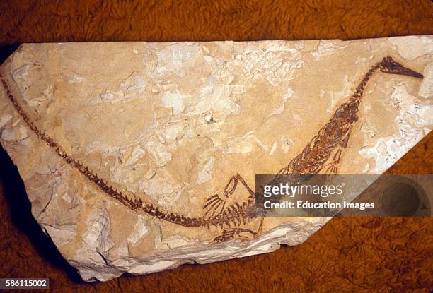
Plate tectonic theory proven by Mesosaurus Fossil, E. Brazil/W. Africa. This fossil was found both in West Africa and eastern Brazil proving the two...
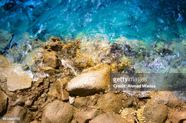
a geysir eruptiong at geysir in iceland, the place after which all the worlds geysirs are named. - plate tectonics stock-fotos und bilder
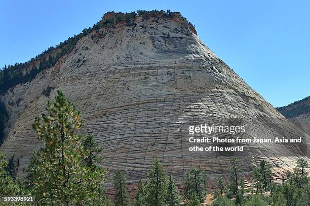
teller tectonics berge bilden zeichnung - plate tectonics stock-grafiken, -clipart, -cartoons und -symbole
Volcanic Activity And The Earth'S Tectonic Plates, The Relationship Between Volcanic Activity And The Earth'S Tectonic Plates.
mt. st. helens magma plumbing system, illustration - plate tectonics stock-grafiken, -clipart, -cartoons und -symbole
supercontinent gondwana, illustration - plate tectonics stock-grafiken, -clipart, -cartoons und -symbole
geological time scale, illustration - plate tectonics stock-grafiken, -clipart, -cartoons und -symbole
In an aerial view, wildflowers and green growth colorize the San Andreas Fault along the Elkhorn Scarp pressure ridge, formed by the grinding...
illustration of collapsed section of the earth's crust forming rift valley - plate tectonics stock-grafiken, -clipart, -cartoons und -symbole
illustration of folds forming in the earth's crust - plate tectonics stock-grafiken, -clipart, -cartoons und -symbole